Application of the Information Technology to the managment of georeferenced data
Earth systems analysis through satellite and aerial images
Project managment with GIS software
Data georeferecing
Site investigations database with web based acces
Geostatistical analysis and raster calculation
3D Modelling
Reconstruction of site evolution
Digital cartography
Digital Elevation Model extraction and analysis
Managment and on-line distribution of monitoring data
Multicriteria analysis
Image classification
Reconstruction of site history and evolution
Aerial surveys with drones
Aerial photogrammetry
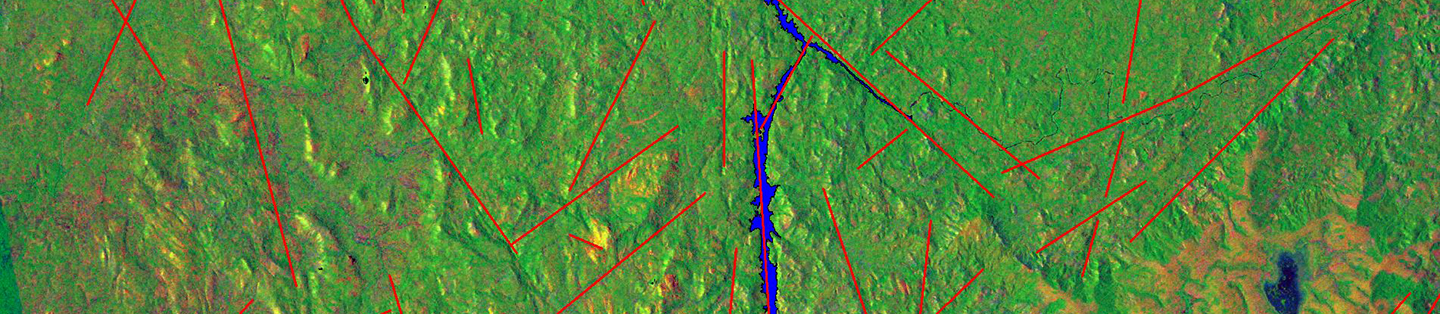
Satellite image processing
Close range photogrammetry surveys
Environmental monitoring
Change detection