CLIENT: ASM Pavia
OWNER: ASM Pavia
COUNTRY: ITALY
YEAR: 2015-2016
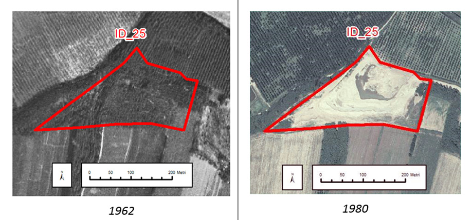
PROJECT DESCRIPTION: Mapping of abandoned landfills sites from the analysis of historic aerial images and maps for an area of 360km2
GEOLOGICAL SETTING: Alluvial plain
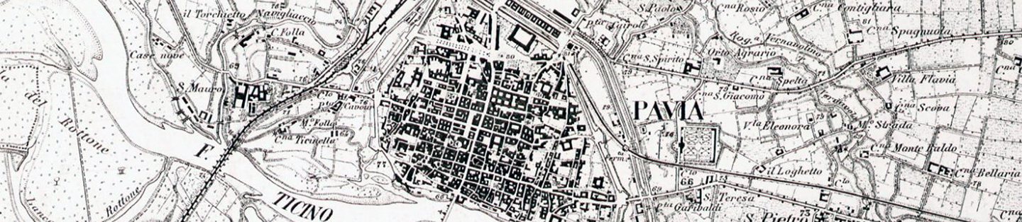
Research and adquisition of historic documents
Digitalization of maps and aerial photos
Photogrammetric processing of the aerial photos for ortophoto extraction
Georeferencing of historic maps
Multitemporal photointerpretation of orthophotos and maps
Identification of certain and uncertain landfill sites
Environmental risk evaluation of landfill sites
Production of maps and data sheets